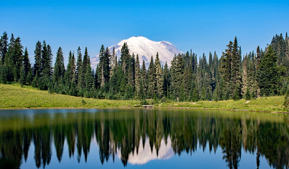
In the breathtaking landscape of the Pacific Northwest, Mt. Rainier, also known as Tahoma, stands tall as an emblem of natural beauty, geological complexity, and the understanding of our planet’s restless activity. Amassing a height of 14,411 feet, it holds the title of the highest mountain in the state of Washington and indeed, anywhere in the contiguous U.S.
On clear days, Mt. Rainier dominates the south-eastern skyline in most of the Seattle-Tacoma metropolitan area and many locals simply call it “The Mountain”. If the air is exceptionally clear, it is also possible to see this mountain from places such as Marys Peak in Corvallis, Oregon and Victoria in British Columbia, Canada.
This American stratovolcano is an enduring testament to the powerful forces that shape our Earth, complete with cascading glaciers, bountiful wildlife, and thriving plant life. It is both a testament to the power and beauty of the natural world and a vivid illustration of the intriguing geological tale of our planet.
For many of us, Mt. Rainier, the sentinel of the Pacific Northwest, is more than just a mountain. It’s a monument to Earth’s past, a playground for today’s adventurers, and a barometer of future geological change. Its stately presence captivates the hearts of those who live in its shadow or visit its lofty peaks. This mountain is a cornerstone within the cultural fabric of the region, and for local communities like the Nisqually, Puyallup, Muckleshoot, and Yakama, the mountain holds profound spiritual and cultural significance.
Origins and geology
Composed of layer upon layer of lava flows, deposits from mudflows, and ongoing volcanic debris, its stratovolcanic architecture continues to evolve with ongoing seismic activity.
The earliest volcanic deposits at Mt. Rainier are estimated to be from roughly 840,000 years ago. They formed an ancestral cone; the present cone is “only” about 500,000 years old.
This mountain is part of the Pacific Ring of Fire, a series of active volcanoes scattered crucially along the Pacific Plate. Mr. Rainier is a stratovolcano in the Cascade Volcanic Arc, formed by lava flows, debris flows, and pyroclastic ejecta and flows. Its last major eruption was about 1,000 years ago, and scientists continually monitor the mountain for any signs of impending volcanic activity.
Once upon a time, Mt. Rainier was probably around 16,000 feet high, before the Osceola Mudflow some 5,000 years ago when a large piece of the cone slid away. Since then, Mt. Rainier has eroded significantly.
The soils examined at Mt. Rainier are mostly gravelly ahsy sandy loams mixed with volcanic tephra. Areas that are forested have developed soils that sport the banded appearance of a classic podzol, but with a darker E horizon. Top soils examined from the mountain meadows tend to be of the dark A horizone type.
Short facts about Mt. Rainier
- Mt. Rainer is the tallest mountain in the Cascade Range.
- Mt. Rainer is ranked third of the 128 ultra-prominent montain peaks in the United States. It’s topographic prominence is 13,210 feet.
- The summit is topped by not just one but two volcanic craters, each more than one thousand feet in diametre. The eastern crater is the larger one, and it overlaps the western crater.
- Mt. Rainier has over a dozen major glaciers, and you can also find large permanent snowfields here. This is the most heavily glaciated peak in the lower 48 states. The two crater rims at the summit are free from snow and ice, however, due to the presence of geothermal heat from the volcano.
- The rivers Cowlitz, Puyallup, Mowich, Nisqually, and Carbon begin at their corresponding eponymous glaciers on Mount Rainier.
- Mr. Rainier has the world’s largest volcanic glacier cave network, with almost 2 miles of passages.
- This amazing mountain is also home to the highest crater lake in North America, with a surface elevation of 14,203 feet. It is fairly small – just 130 by 30 feet – and occupies the lowest portion of the western crater. It is burried in more than 100 feet of snow and can only be reached through the glacier cave network.
Climbing
With a dramatically diverse typography, Mt. Rainier offers challenging climbs. Persisting through demanding glaciers and rocky terrains is an experience savored by many, despite the risks inherent in mountaineering in these conditions. There are several routes marked out for climbers, most famously the Disappointment Cleaver and Emmons Glacier routes. The reward of reaching the summit and experiencing the awe-inspiring vista is a magnet for adventurers from around the world. But remember, safety first! The National Park Service advises on extensive preparation before making the trek.
Nature’s Bounty at Mt. Rainier National Park
Named after Admiral Peter Rainier, a British Navy man, this mountain is a treat for naturalists and casual visitors alike. The Mt. Rainier National Park envelops the mountain, spreading across 236,381 acres of land. It boasts a rich array of biodiversity, from lush old-growth forests to more than 100 species of birds and even a few endangered species.
Every summer, the landscape bursts with a riot of wildflowers, making it a haven for botanists and nature photographers. The park offers activities for many different types of outdoor enthusiasts, including those who want to enjoy camping, hiking, and wildlife spotting.
Name
Several different indigenous languages are spoken in the region, each with their own name for this immense mountain. In Lushootseed, it actually goes by several names, including xʷaq̓ʷ (sky wiper) and təqʷubəʔ (snow-covered mountain). The name təqʷubəʔ has been anglicized in various ways over the years, into versions such as Tahoma, Tacoma, and Tacobet.
Ichishkíin sɨ́nwit (Sahaptin) is a language spoken by several tribes of the Washington Reservations, and in several smaller communities such as Celilo, Oregon. In this language, the mountain is named Taxúma.
Captain George Vancouver, a British Royal Navy officer who explored the Pacific northwest in 1791–1795, called the mountain Mt. Rainier in honor of his friend, Read Admiral Peter Rainier. The map of the Lewis and Clark expedition of 1804-1806 uses this name, although spelling it Mt. Regniere. In his posthumously published 1862 travel book “The Canoe and the Saddle”, Theodore Winthrop used the indigenous name Tacoma.
For some time, the names Tacoma and Mt. Rainier were used alongside each other, and Tacoma is also the name of the the second-largest city in the Puget Sound area, located less than 60 miles from the national park. In 1890, the U.S. Board on Geographic Names declared that the mountain’s official name was Mt. Rainier, and in 1897 the Pacific Forest Reserve became the Mount Rainier Forest Reserve, from which the National Park takes its name. As late as 1924, Congress was still considering a resolution to change the name to Tacoma.
In 2015, the official name of a mountain in Alaska was changed from the English name Mount McKinley to the indigenous name Denali, sparking discussions regarding the future name of Mt. Rainier too.